Digital Mapping- bread and butter, soil and water
I realize I haven’t talked much about what it is I *do* for my work, and why this might matter.
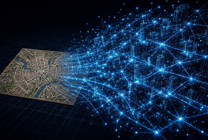
I currently work for the Geospatial Intelligence team at ConocoPhillips. What is that? Imagine a map, on a computer, with a database behind it. Now manage thousands of users making maps across the world, needing to perform complex workflows, it needs to stay online and available, and it needs to be secure as well.
That’s the system I support- in a nutshell.
I’ve been in the Geospatial sciences field since High School- having worked for the city of Fayetteville Arkansas doing remote sensing, ground truthing (synchronizing satellite images with actual ground conditions). I’ve also done work for the University of Arkansas as my senior year Computer Engineering capstone project- we took a 1 billion point LIDAR (Light Detection And Ranging) cloud from an airplane and split it out to a cluster system to process it into a workable format. It was fun, you’ll have to take my word for it 😄
I’ve worn a few other technical hats over the years, but that’s where my current expertise is focused. Why does this matter? A lot of planning/zoning decisions are of course going to be using mapping systems I’m likely to be passingly familiar with. Same with Hydrography discussions and planning. If it comes to digital manipulation of geospatial data, this is my current field of enthusiastic work.